
Mumbai Metro-3 Final Phase Inauguration on Oct 8–9: Route Map, Stations List & Key Highlights for Commuters
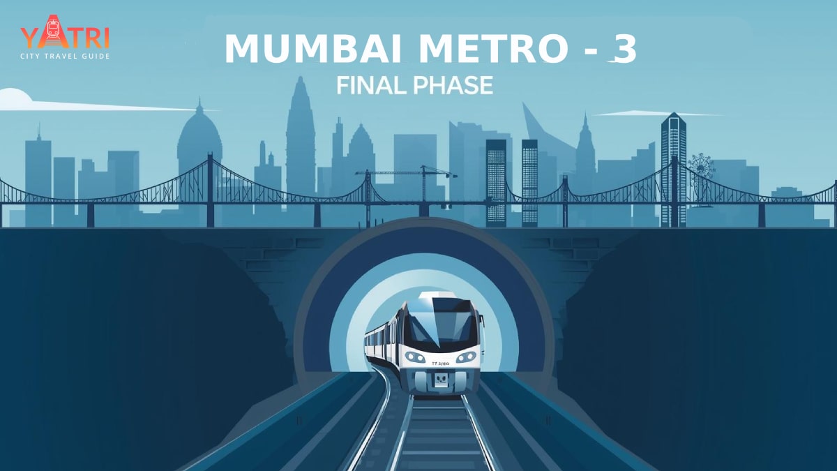
Mumbai’s long-awaited Metro-3 (Colaba–Bandra–SEEPZ) is set to reach a major milestone: the final phase of the fully underground corridor will be inaugurated on October 8–9, 2025, completing the Aarey–Cuffe Parade line and bringing transformative connectivity to the city. The opening — to be flagged off by Prime Minister Narendra Modi — will make Metro-3 one of India’s most important urban transit projects, connecting South Mumbai with the northern suburbs in under an hour.
PM Modi is expected to flag off this final phase, which will significantly enhance connectivity in South Mumbai and reduce travel burden in key business and residential hubs. Reports from Times of India also suggest that daily ridership is expected to more than triple once the entire Metro-3 becomes fully operational.
This Yatri app blog explains what’s being inaugurated, the route and stations you should know, how commuters’ daily journeys will change, and practical tips for first-time riders and regular commuters alike.
What’s Being Inaugurated on Oct 8-9?
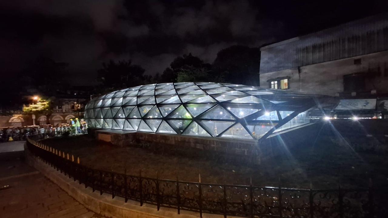
The final phase includes the stretch between Worli and Cuffe Parade, completing the full alignment from Aarey to South Mumbai’s southern tip. The TOI describes this last leg as adding 11 underground stations which pass key localities including Churchgate, Kalbadevi, Grant Road, Girgaon, and Heritage areas around Hutatma Chowk.
Commuters should watch for updated operational timings and route schedules around those dates. Local authorities and the Mumbai Metro Rail Corporation (MMRC) are expected to publish official schedules, last-mile connectivity options, and station maps in advance. Delays in final safety approvals (e.g. from CMRS) could adjust expectations, but media reports indicate preparations are advanced.
.png)
Metro-3 at a Glance: Purpose, Length, Design & Existing Sections
Metro-3 is roughly 33.5 km long, almost entirely underground with 27 stations—26 of them underground and one at grade. It is being built to relieve traffic on roadways and suburban rail, shorten travel times, and offer modern, air-conditioned transit across major city corridors.
As of now, the stretch from Aarey to BKC (Phase 1) spanning about 12.44 km has been operational since October 2024, with 10 stations (9 underground + 1 ground level).
Phase 2A (BKC → Worli) covering ~9.77 km is also already in operation, featuring stations like Dharavi, Shitaladevi, Dadar West, Siddhivinayak and Acharya Atre Chowk. This section helps connect commuters from East / Central parts toward South Mumbai.
Mumbai Metro-3 Final Phase Route Map: 11 New Stations Connecting South Mumbai
The final phase of the Mumbai Metro Line-3 (Aqua Line) — stretching from Worli to Cuffe Parade — will add 11 new underground stations, completing the long-awaited north–south corridor. This final stretch connects some of Mumbai’s busiest commercial, heritage, and residential hubs, transforming daily commutes across the city.
The newly opened 11 Metro-3 stations include:
- Science Museum
- Mahalaxmi
- Mumbai Central
- Grant Road
- Girgaon
- Kalbadevi
- The CSMT-area (Chhatrapati Shivaji Maharaj Terminus vicinity)
- Hutatma Chowk
- Churchgate
- Vidhan Bhavan
- Cuffe Parade
A clear, labeled route map — preferably an official MMRC graphic — will help readers visualise interchange points with suburban rail, Metro Line 2/2B and last-mile options.
Key Highlights for Commuters
Here are what regular passengers and first-time riders should expect once the final phase is operational:
- Travel Time Reduction: The full Aarey → Cuffe Parade corridor is projected to allow end-to-end travel in under one hour
- Ridership Surge: Daily ridership is projected to more than triple compared to current operational sections, due to the addition of key South Mumbai stations.
- Interchanges & Seamless Transfers: Key interchange points (e.g., Churchgate, Vidhan Bhavan) will connect Metro-3 with suburban rail and other metro lines, improving first- and last-mile travel.
- Modern Amenities & Design: All stations in the final stretch are expected to include modern features — lifts, escalators, accessibility aids, clear signage. Heritage-adjacent stations are being designed to preserve city aesthetics.
Ticketing, Fares & Operational Expectations
- The current operational sections (Aarey → BKC → Worli) have fares ranging between ₹10 to ₹50 depending on distance.
- The hours of operation should stay the same: weekdays from about 6:30 AM to 10:30 PM, with a little later start on the weekends.
- MMRC has announced that digital and contactless ticketing, including options via Yatri app or counters, will continue to be supported. Integration with other transit systems (suburban rail, metro lines) and last-mile connectivity are important features to watch.
Practical Tips for First-Time Riders
- Check MMRC’s official website or social media for a route map and station-entry/exit points in the final stretch.
- On inauguration days (Oct 8-9), expect higher crowds; if possible, travel during off-peak hours.
- Use navigation tools (or the Yatri app) to plan your route, especially if you need to connect from suburban rail or buses.
- Keep some buffer time — transfers, security, and station entry may take longer in early days of full operation.
- For airport travellers, note that the new CSMIA Terminal 2 connection via Metro-3 plus new foot over-bridge reduces walking distance significantly.
The Bigger Picture: Why Metro-3 Matters
Metro-3 is a vindication of Mumbai’s push towards modern, underground, climate-friendly transit. By bypassing surface traffic, saving travel time, and improving reliability, it is expected to:
- Significantly reduce road congestion on busy arteries.
- Provide relief to suburban rail loads, especially for commuters traveling from suburbs into South Mumbai.
- Improve air quality as more people switch from cars/auto rickshaws to mass transit.
- Boost economic activity by improving access to business districts, heritage precincts, airports, and educational/work hubs.
- Media reports emphasize that the completed Metro-3 corridor will reshape mobility for thousands of Mumbaikars daily.
.png)
Final words: What You Should Do Before Oct 8-9
If you plan to use Metro-3 after the inauguration on Oct 8–9, bookmark official updates from the MMRC and major news outlets for real-time information. Use route maps, station grids, and the Yatri app to plan interchanges and live arrival times for connecting services. The first fortnight after launch will be the best time to assess new travel patterns and adopt predictable, faster routes across Mumbai.
Dated October 5, 2025